Subjects:
Geography, Leisure and Tourism
Key Stages:
Foundation, Key Stage 1, Key Stage 2, Key Stage 3, Key Stage 4, Key Stage 4+
Geocode: East Harlsey
Date of artefact: 27th May 2012
Keywords:
cleveland hills
Related Links:
EXIF data:| FILE |
| FileName | imgp2631.jpg |
| FileDateTime | 0 |
| FileSize | 3847046 |
| FileType | 2 |
| MimeType | image/jpeg |
| SectionsFound | ANY_TAG, IFD0, EXIF, GPS |
| COMPUTED |
| html | width="3002" height="1879" |
| Height | 1879 |
| Width | 3002 |
| IsColor | 1 |
| ByteOrderMotorola | 1 |
| ApertureFNumber | f/11.0 |
| IFD0 |
| Make | PENTAX Corporation |
| Model | PENTAX K100D Super |
| Orientation | 1 |
| XResolution | 72/1 |
| YResolution | 72/1 |
| ResolutionUnit | 2 |
| Software | QuickTime 7.6.6 |
| DateTime | 2013:05:17 20:59:49 |
| HostComputer | Mac OS X 10.6.8 |
| Exif_IFD_Pointer | 254 |
| GPS_IFD_Pointer | 500 |
| EXIF |
| ExposureTime | 1/350 |
| FNumber | 11/1 |
| ExposureProgram | 8 |
| ISOSpeedRatings | 200 |
| ExifVersion | 0220 |
| DateTimeOriginal | 2012:05:27 12:12:11 |
| DateTimeDigitized | 2012:05:27 12:12:11 |
| ExposureBiasValue | 0/1 |
| MeteringMode | 5 |
| Flash | 16 |
| FocalLength | 40/1 |
| ExifImageWidth | 3002 |
| ExifImageLength | 1879 |
| SensingMethod | 2 |
| GPS |
| GPSVersion | ���� |
| GPSLatitudeRef | N |
| GPSLatitude | Array
(
[0] => 54/1
[1] => 24/1
[2] => 15958/761
)
|
| GPSLongitudeRef | W |
| GPSLongitude | Array
(
[0] => 1/1
[1] => 20/1
[2] => 42139/1294
)
|
| GPSAltitudeRef | � |
| GPSAltitude | 1089/20 |
| GPSMapDatum | WGS-84 |

 [ 1 ]
[ 1 ]  [
[
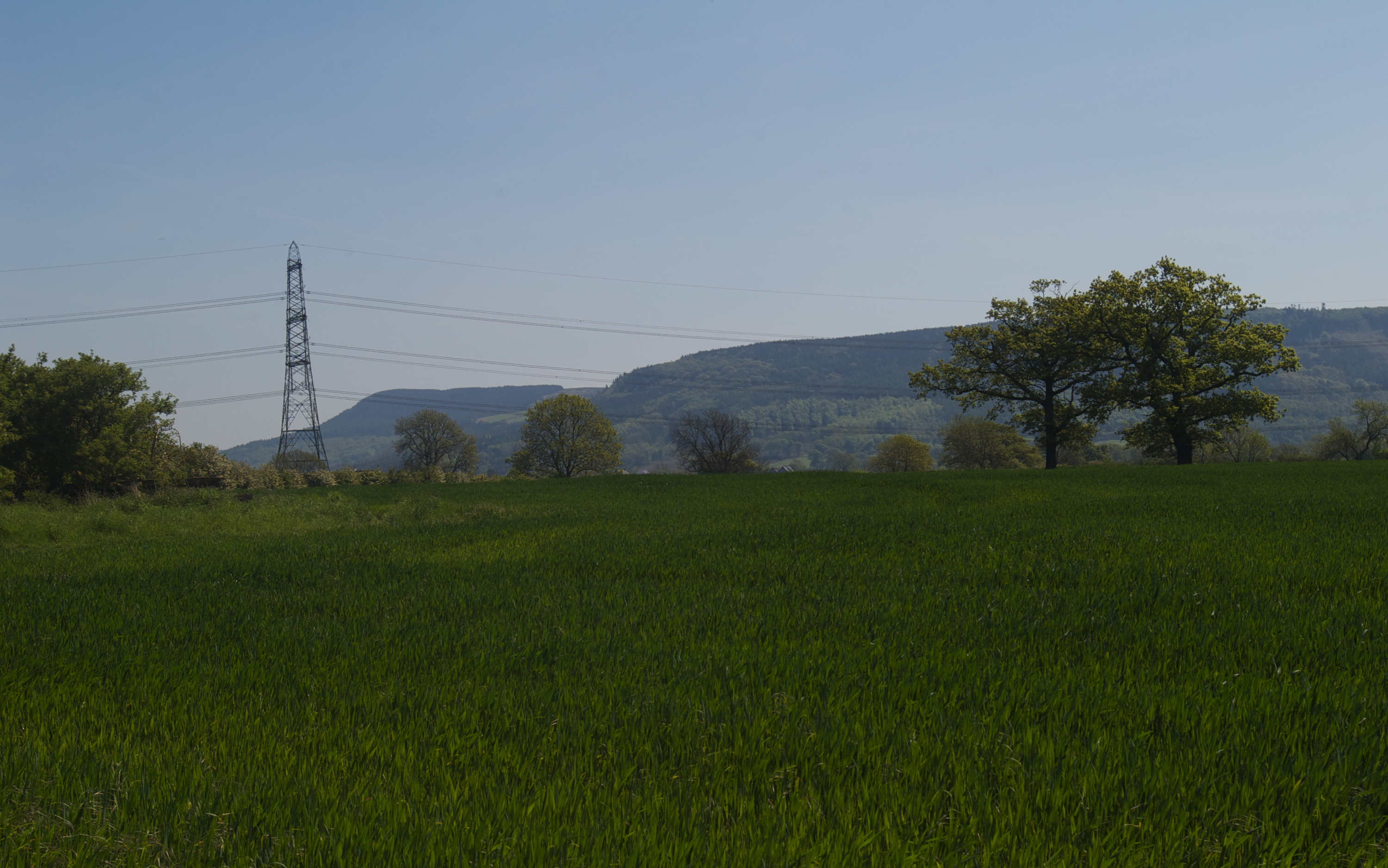
 View ahead to Cleveland Hills