E2BN Gallery

home register and login search teachers' pages help
E2BN Gallery
Asset 1 of 1 Previous Asset [ 1 ] Next Asset   [Slideshow]

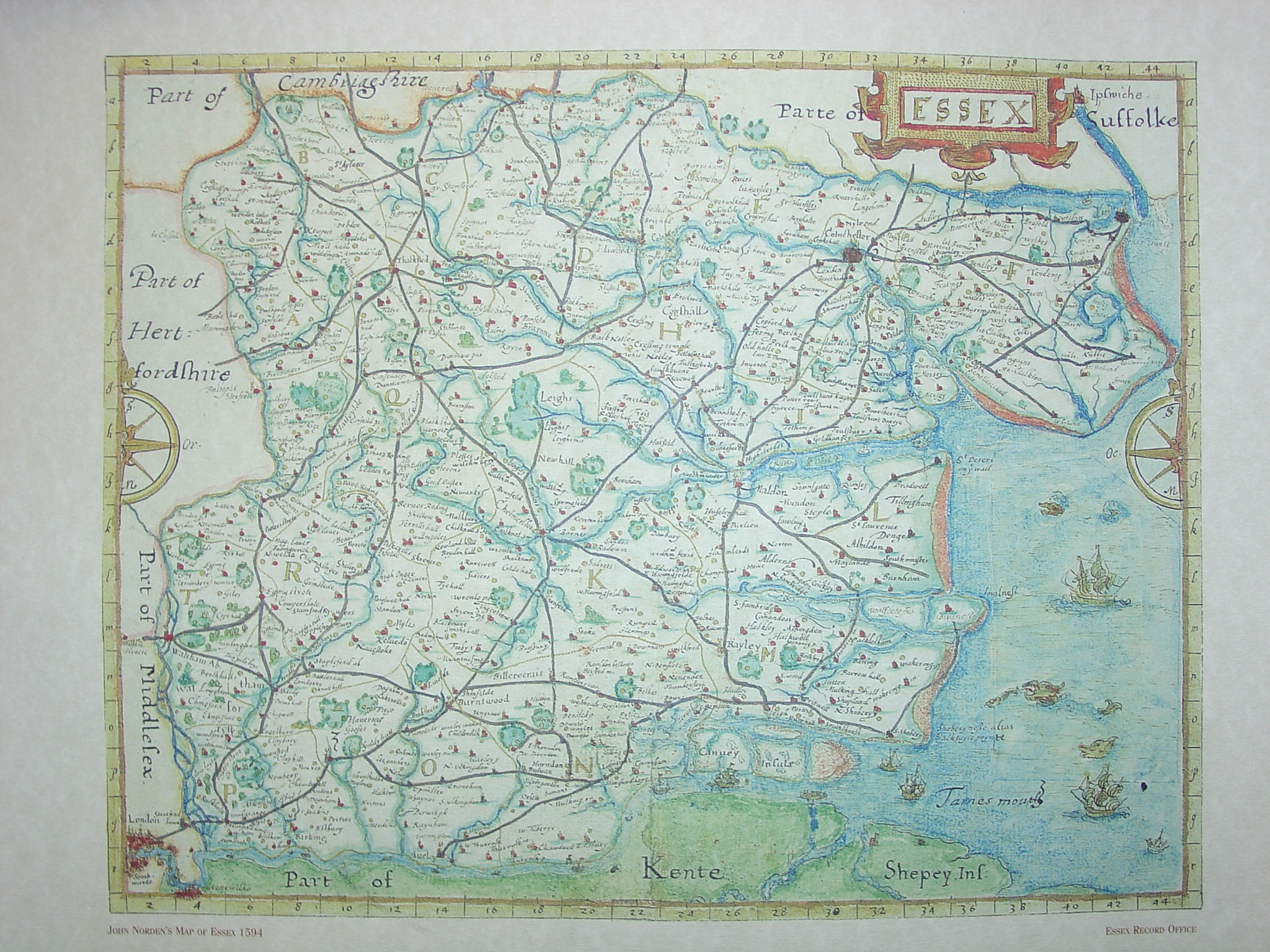
Map of Tudor Essex 1594

Show/Hide_Details
Unique Id:

78070

This item is saved in one of your albums. Click to remove it.. My Albums

Map drawn by John Norden (1548-1626). Norden, a topographer, was the first Englishman to complete a series of county histories and geographies.

The map was designed to be decorative, and therefore highly saleable.

The original map measures 20.3cm by 26.7cm and is drawn at 1 inch to 2.75 miles. It shows the boundaries of Hundreds, rivers, hills, towns, villages, some hamlets, castles, many of the larger houses and some roads.

Added:
14th Feb 2008

Subjects:
English, History

Key Stages:
Key Stage 2, Key Stage 3, Key Stage 4, Key Stage 4+

Keywords:
Tudor Elizabeth map Essex progress writing

Related Links:

EXIF data:

E2B® and E2BN® are registered trade marks and trading names of East of England Broadband Network (Company Registration No. 04649057) | Terms and Conditions