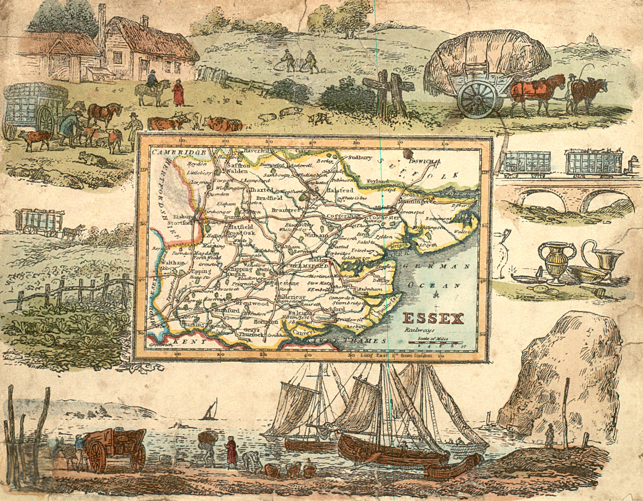
In 1845, when this map was made, life was changing fast. In the previous ten years these had been invented: the sewing-machine, the stapler, the bicycle, the postage stamp, the revolver, photography, and the first calculator.
When it was first proposed that people as well as goods should travel on railways, many people were worried. They were afraid that the sparks from the engines would set fire to the countryside, that animals would be terrified and stampede; and since nobody up till then had travelled faster than a horse, they were afraid that passengers would faint, become ill, or not be able to breathe.
Discussion opportunity
Were people really afraid of this, or were they afraid of change? Were they afraid of losing the kind of life they knew?
Some archaeological finds are shown on the right of the picture. While people were building the first railways and canals sometimes they uncovered information and objects from the past, and a lot of Britain’s history was revealed. This still happens now. Massive construction work means machines digging up and changing the land.
Discussion opportunity
What happens when road builders find something? In 2003 road-building revealed a rich Anglo-Saxon grave, the tomb of the Prittlewell Prince.

 [ 1 ]
[ 1 ]  [
[
 1845 Essex map