
 [ 1 ]
[ 1 ]  [
[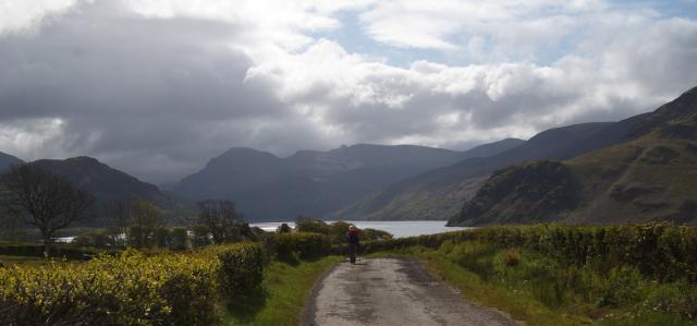
 Ennerdale Water
Show/Hide_Details

Added:
17th Jul 2012
Subjects:
Geography, Leisure and Tourism
Key Stages:
Foundation, Key Stage 1, Key Stage 2, Key Stage 3, Key Stage 4, Key Stage 4+
Date of artefact: 15 May 2012
Keywords:
ennerdale water lake-district coast-to-coast fells
Related Links:
EXIF data:Developed by E2BN for the National Education Network
E2B® and E2BN® are registered trade marks and trading names of East of England Broadband Network (Company Registration No. 04649057)
E2B® and E2BN® are registered trade marks and trading names of East of England Broadband Network (Company Registration No. 04649057)