
Home / Culture and Heritage / Essex Record Office / Basildon Local History / 1970s aerial photo of Vange
 [ 1 ]
[ 1 ]  [
[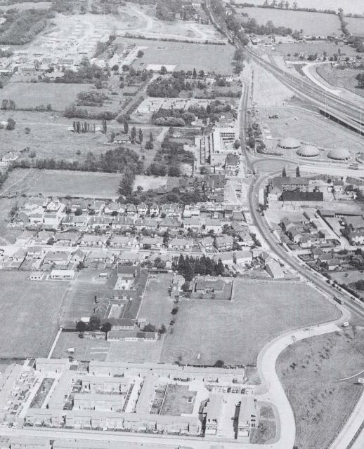
 1970s aerial photo of Vange
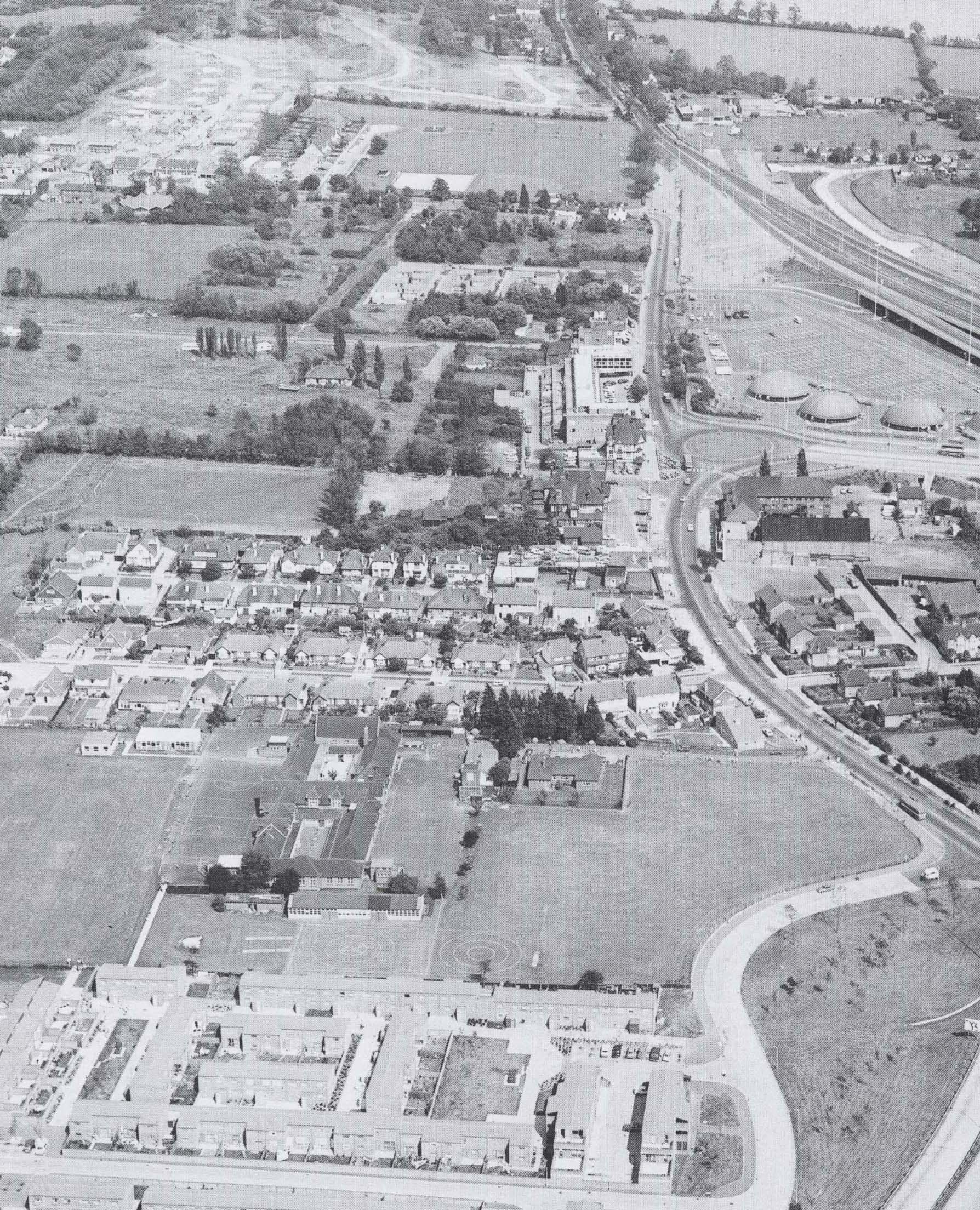
Show/Hide_Details

Added:
26th Sep 2008
Subjects:
Geography, History
Key Stages:
Key Stage 2, Key Stage 3, Key Stage 4
Keywords:
Basildon, local history
Related Links:
EXIF data:Developed by E2BN for the National Education Network
E2B® and E2BN® are registered trade marks and trading names of East of England Broadband Network (Company Registration No. 04649057)
E2B® and E2BN® are registered trade marks and trading names of East of England Broadband Network (Company Registration No. 04649057)